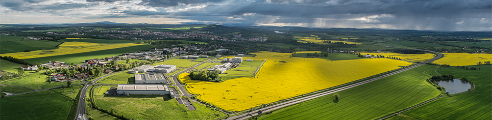
Skalná Industrial Area

| Town: |
Skalná |
| Population: |
1.924 |
| Cadastral area: |
Skalná (748102) |
| District: |
Cheb |
| Site area (ha): |
cca 2.60, of which available:2.60 |
| Price per m2 [CZK]: |
100,- |
| Type of locality: |
site for investment construction |
| Number of lots: |
2 |
| Ownership |
Number of owners |
Ownership interest in % |
Restriction of ownership rights |
| Private |
0 |
0% |
None |
| Municipal |
1 |
100% |
None |
| State |
0 |
0% |
None |
| Church |
0 |
0% |
None |
| Not determined |
0 |
0% |
None |
| Total number of owners |
1 |
|
Brief characteristics:
The industrial area is located outside the town of Skalná, Cheb district, along the road II/213. The area totalling 2.6 ha has not been connected to technological networks yet. They are located close by the area concerned – 100 m. The area is owned by the town of Skalná, whose city council is open to other investments and it welcomes a co-operation with business sector. Among the companies headquartered in the municipality there are, for instance, LUKAS CZ spol. s r.o., Skaldo a.s., BS Kovoobrábění s.r.o.
| Site use according to spatial planning documentation: |
production – light industry |
| The most suitable anticipated future use of this locality: |
Facilities and premises for production, sorting and storage of object |
| Ratio of agricultural land: |
100 % |
| Spatial planning documentation: |
yes |
| Spatial planning decision: |
yes |
| Investment plans: |
no |
| Government aid: |
no |
| Ecological burden: |
no |
| Civic amenities: |
kindergarden, basic school, doctor, dentist, municipal library, post office, sports hall |
Connection to technical infrastructure networks:
| Water mains: |
no - possible connection in the distance of approx. 100 m |
| Sanitation: |
no - possible connection in the distance of approx. 100 m |
| Gas line: |
no - possible connection in the distance of approx. 100 m |
| Power: |
no - possible connection in the distance of approx. 100 m |
| Heat: |
no - possible connection in the distance of approx. 100 m |
| Telecommunication: |
no - possible connection in the distance of approx. 100 m |
Transport infrastructure:
| Highway: |
yes - D6 - 12 km, A93 - 25 km |
| 1st class roads: |
yes - I/21 (E49) 5km |
| 2nd class roads: |
yes - II/213 |
| Railroad: |
yes |
| Railroad siding: |
no |
| Airport: |
yes - Karlovy Vary - 50 km, Hof - 50 km |
| Border crossing: |
yes - Vojtanov - 5 km |
Construction restrictions:
| Flood plains: |
no |
| Technical infrastructure protection zone: |
yes - VTL gas line |
| Highway protection zone: |
no |
| Railroad protection zone: |
yes |
| Airport protection zone: |
no |
| Protected landscape area: |
no |
| Bio corridor: |
no |
Downloadable files
A map of the locality