Horní Slavkov

| Town: | Horní Slavkov |
|---|---|
| Population: | 5.633 |
| Cadastral area: | |
| District: | |
| Site area (ha): | cca 12.00, of which available:2.00 |
| Ownership | Number of owners | Ownership interest in % | Restriction of ownership rights |
|---|---|---|---|
| Private | 0 | 0% | None |
| Municipal | 0 | 0% | None |
| State | 1 | 100% | None |
| Church | 0 | 0% | None |
| Not determined | 0 | 0% | None |
| Total number of owners | 1 | ||
Brief characteristics:
| Spatial planning documentation: | yes |
|---|---|
| Spatial planning decision: | yes |
| Investment plans: | no |
| Government aid: | no |
| Ecological burden: | no |
Connection to technical infrastructure networks:
| Water mains: | yes |
|---|---|
| Sanitation: | yes |
| Gas line: | no |
| Power: | yes |
| Heat: | no |
| Telecommunication: | yes |
Transport infrastructure:
| Highway: | yes |
|---|---|
| 1st class roads: | yes |
| 2nd class roads: | yes |
| Railroad: | yes |
| Railroad siding: | no |
| Airport: | yes |
| Border crossing: | no |
Construction restrictions:
| Flood plains: | no |
|---|---|
| Technical infrastructure protection zone: | no |
| Highway protection zone: | no |
| Railroad protection zone: | no |
| Airport protection zone: | no |
| Protected landscape area: | no |
| Bio corridor: | no |
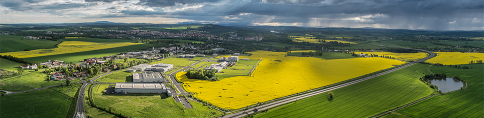
A map of the locality


Investment Opportunities in the Karlovy Vary Region
Karlovarská agentura rozvoje podnikání, p. o.
The Business Development Agency of Karlovy Vary Region (KARP)
Závodní 278,
360 18 Karlovy Vary
Podnikatelský inkubátor KANOV, 4nd floor